Deciduous vs evergreen canopy: why leaf-off imagery skews a greenness score
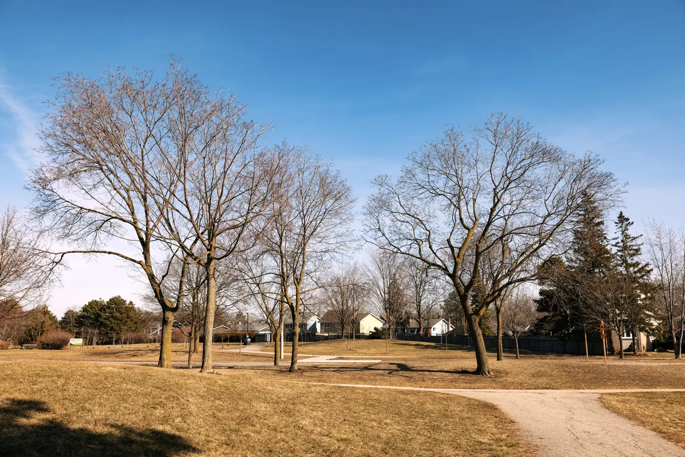
A tree-lined street in a northern suburb can score as "sparse canopy" in February and "dense canopy" in July, with not a single tree planted or removed in between. The street is deciduous, and the February pass caught it leaf-off.
Canopy cover gets read from imagery by looking at how much of a pixel reflects like live vegetation, mostly in the near-infrared band. A maple or oak in full leaf reflects strongly there. The same tree bare in winter looks, to the sensor, a lot more like the asphalt and rooftops around it. An evergreen stand two streets over, holding its needles year-round, reads almost the same in January as it does in August. Score the two streets off imagery captured in different seasons and you're not comparing canopy, you're comparing calendars.
What a leaf-off pass gets wrong
The bias only shows up when you compare across areas with different tree mixes, which is exactly what a location-quality score is for. Say you're scoring two listing areas with genuinely equal tree density: one planted with sugar maples and sweetgums, the other with loblolly pines and cedars. A pass flown in late winter will show the pine-heavy area as the clearly greener one, because its canopy didn't drop anything. A pass flown at peak summer leaf-out flips that gap the other way, sometimes further than it should, since broadleaf canopy at full density can out-reflect conifer stands in NIR.
Neither pass is wrong on its own. The problem is using one month's capture to rank areas that don't lose their leaves at the same rate, or at all. An agent pulling up two comparable listings and seeing a ten-point canopy gap has no way to know, from the score alone, whether that gap is trees or timing.
Open space and impervious ratio aren't immune either, though they're more stable. A parking lot reads as impervious in any season. But where canopy overhangs a sidewalk or a yard, a leaf-off pass can misclassify that ground cover as exposed pavement or bare soil simply because the tree above it isn't registering as vegetation that week.
Reading a score against its capture date
Knowing when the imagery was flown, and holding that constant across the areas you're comparing, matters more than any adjustment to the scoring formula. A canopy score pulled from a single annual pass is only a fair comparison between neighbourhoods if that pass landed at a similar point in each area's growing season, or if the scoring approach accounts for deciduous versus evergreen cover separately rather than treating all canopy as one number.
For a mixed climate zone, that usually means favouring a capture window during full leaf-out for the dominant deciduous species in the market, and treating any area scored from a leaf-off pass as provisional until the next cycle. If your portal spans several growing zones, this matters more than it sounds: a listing area in a pine belt and one in an oak-hickory belt can hit their respective canopy peaks weeks apart, and a single capture date won't catch both at their best.
It's worth asking, for any greenness number you're putting next to a listing, what month the underlying pass was flown and whether that month was fair to every tree species in play. Greenness Scoring builds that annual canopy, open space and impervious read from high-resolution multispectral imagery and hands back the score alongside its components, so a leaf-off reading doesn't get buried inside a single tidy number.
If capture timing has been quietly skewing your canopy comparisons, it's worth seeing what the underlying components look like before the next refresh.