Field notes: the listing with the mature oak that never moved the score
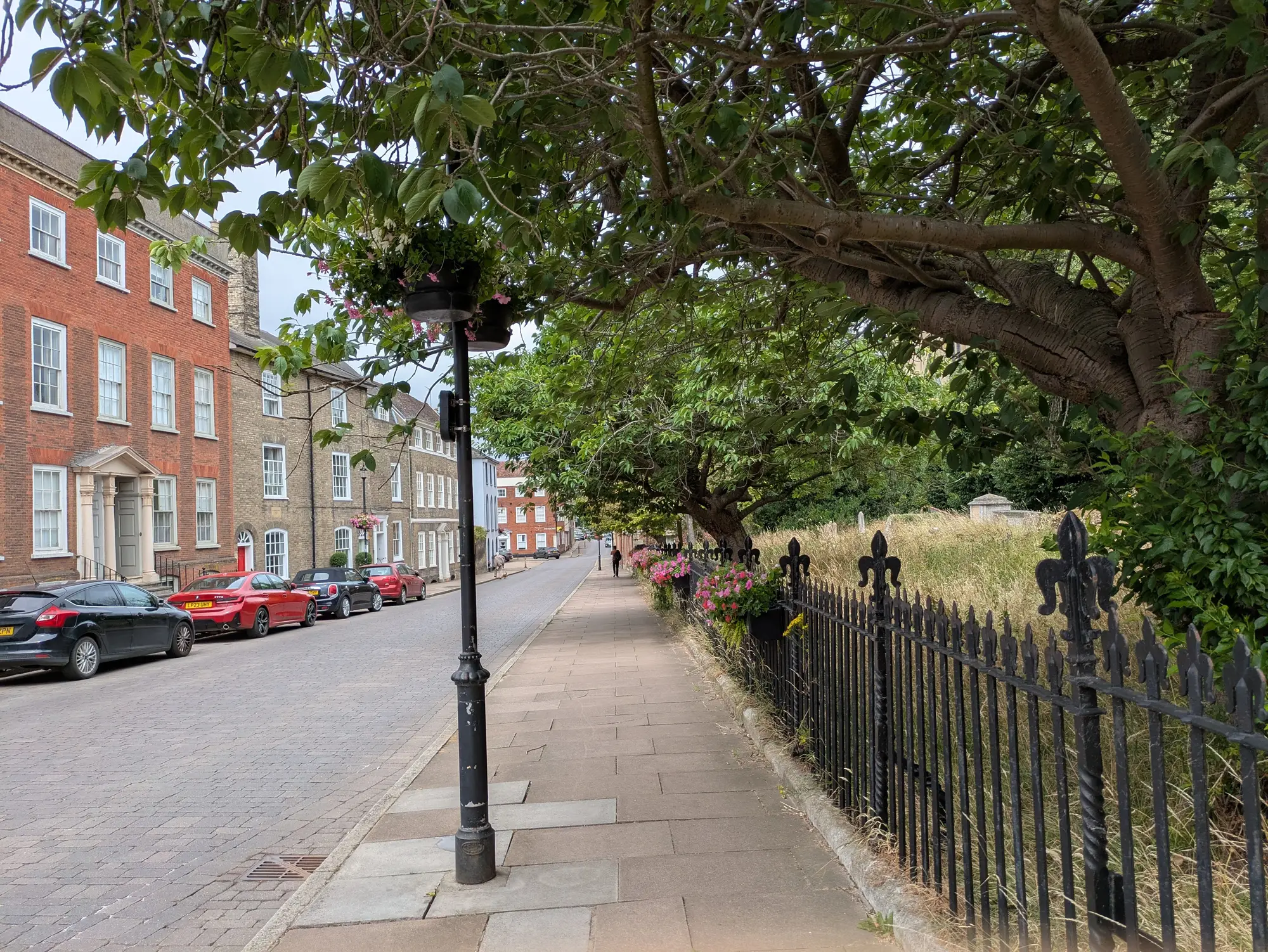
There's a listing on the east side of a mapping job I pulled last spring. Big corner lot, 1920s build, and a white oak in the front yard that's probably older than the house. Canopy on that one tree alone shades close to a third of the parcel in summer. Anyone walking past it would call that a green lot.
The area score didn't budge.
I got the question from the listing team almost immediately: why does a lot with a hundred-year oak score the same as the block average, when the block average includes two parking lots and a strip of townhomes with no yards at all? Fair question. It's also the kind of question that tells you someone is reading the score as a parcel grade instead of what it actually is, which is a read on the listing area.
That's the part that's easy to lose once a number shows up next to an address. The score measures the polygon the listing sits in: canopy cover across the whole area, open space as a share of it, impervious surface pulling the other way. A single mature crown, even a wide one, is a rounding error against a few acres of roofline, road and parking that make up the rest of the drawn boundary. The oak is real. It's also one tree in a denominator that doesn't care how old it is.
The impervious side makes it worse for that particular block, honestly. The corner lot has a long gravel drive and a detached garage with a paved apron, and two doors down there's a church with a lot that fits maybe eighty cars. None of that cancels out visually when you're standing under the oak looking up. All of it shows up in the imagery. A 0.5 m RGB and NIR pass doesn't know the oak is photogenic. It just counts canopy pixels and impervious pixels across the same footprint, and the footprint includes the church lot whether anyone touring the house ever notices it.
I've started treating moments like this as useful rather than annoying, because they're exactly where the gap between "looks green" and "scores green" gets explained to someone who's never had to care about the difference before. A dense canopy block two streets over, where the yards are smaller but every lot has tree cover and the streets are narrower with less pavement, will outscore the oak block most years, and it should. The model is doing the one job a comparable score has to do: treat every listing area the same way it treats every other one, instead of rewarding whichever lot happens to have the best photo.
None of this means the oak doesn't matter to a buyer walking the property. It clearly does, and nothing here is telling an agent to stop mentioning it. It just means a single standout feature on a parcel and a neighbourhood-level canopy number are answering different questions, and a location-quality score has to stay honest about which question it's answering if it's going to be worth comparing across a market instead of just within one street.
Where this gets interesting is the annual refresh. If that block gets a parking resurfacing project or the church expands its lot, the impervious share moves and the score follows it the next cycle, oak or no oak. If a few of those smaller yards lose trees to storm damage, that canopy number moves too. Each cycle the score captures the area as imaged that year, which is exactly why you'd want it pulled from a comparable location-quality score instead of someone eyeballing the nicest tree on the block.
Worth keeping in your back pocket for the next time a listing team asks why their favourite tree didn't change the number. Take a look at how the scoring handles a case like this before you're explaining it on the fly.