Field notes: the week a cemetery almost counted as open space
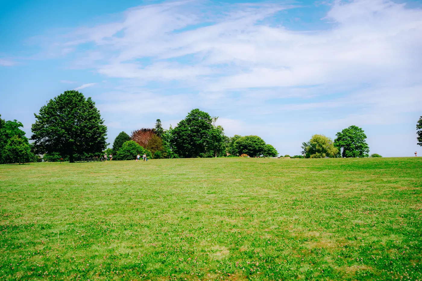
We run a monthly QA pass on the open space tags before they go anywhere near a listing page, and this month one polygon kept tripping the outlier check: a listing area on the east side came back with 38% open space, nearly double the next-highest area in the batch. Good news for whoever's selling houses near it. Except the number was wrong, or at least wrong for what buyers would assume it meant.
The polygon driving it was a 22-acre cemetery that our parks layer had absorbed years ago, probably because someone coded it as "public green space" in a municipal GIS export and nobody revisited the call. Technically it's green. It's mown, it's maintained, there's turf as far as the eye can see. It is not a park in any sense a house-hunter cares about. You don't walk a dog there off leash, you don't lay out a blanket, your kids don't play catch between the headstones. It's open space in the zoning sense and dead weight in the "is this a nice place to live" sense.
This is the problem with "open space" as a category: it's doing two jobs at once, and most data pipelines only check for one. Zoning and land-use layers ask whether a parcel is built on. A cemetery passes. A golf course passes. A stormwater retention pond ringed by chain-link passes.
None of those answer the question a buyer is asking, which is closer to: is there somewhere green and usable near this listing. Mown grass and usable green space are not the same thing, and conflating them is how you end up with a listing area that scores like it backs onto Central Park when the view out back is a row of headstones.
We ended up pulling the cemetery out manually, which is the unsatisfying answer but the honest one. There's no clean rule that catches "green, maintained, technically open, functionally unusable" across every parcel type, not without a human looking at the imagery and the land-use code together. What the pass did do, though, was make us tighten the QA script to flag any single polygon over a certain share of a listing area's total open space, since a cemetery, a cemetery and a half, or a single oversized retention basin will all trip that same pattern. That tripwire catches the worst of it, stopping the pipeline from shipping a number that quietly rewards a house for sitting next to a graveyard.
The other thing this flushed out, which is more interesting long-term: open space coverage and canopy cover tell you different things, and a lot of our internal reviewers treat them as interchangeable when they're not. A cemetery can carry almost no tree canopy and still max out an open-space percentage. A dense older neighborhood with tiny yards but a heavy street-tree canopy can score low on open space and still feel green at street level in a way buyers notice when they walk the block. If you only track one of the two, you're guessing at the other. That's part of why we started looking at canopy cover as a separate line item instead of folding it into a single walkability-style score, and it's the gap that Greenness Scoring is built to close, since it reads canopy, open space, and impervious ratio off the imagery itself instead of inheriting whatever a zoning layer happened to call "green" a decade ago.
No tidy moral here, just a reminder to check what's sitting inside your open-space polygons before you let the percentage speak for itself. If you're tired of that same conflation sneaking into your own scores, it's worth seeing how Greenness Scoring breaks the signal apart.