How to explain a greenness score discrepancy to a listing agent
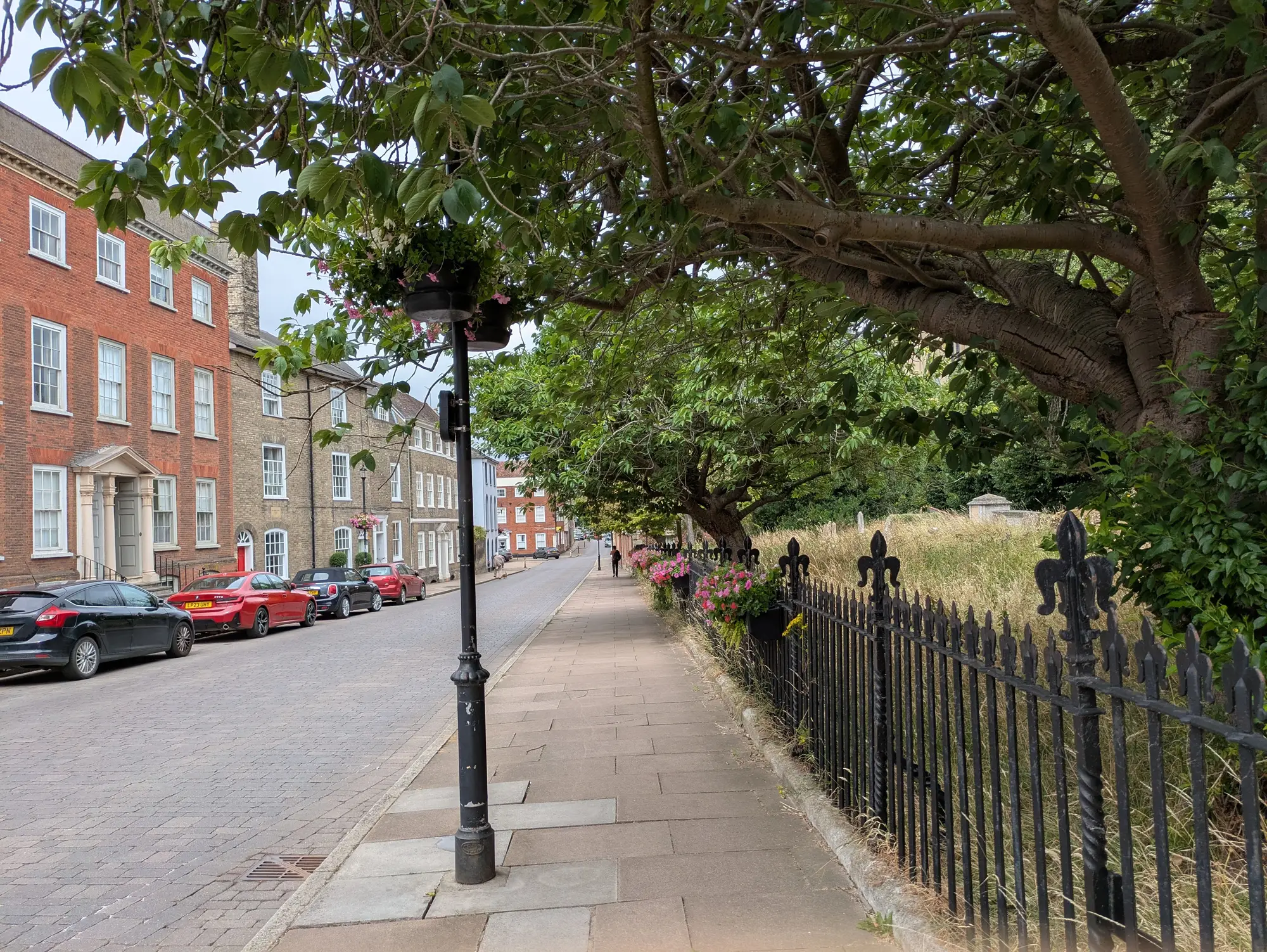
An agent calls. The listing sits on a street with mature oaks, a park two blocks over, heavy shade on every lot, and the greenness score on the listing page reads lower than expected. Or worse, lower than the house three streets over that doesn't look nearly as green to anyone standing on the sidewalk. Almost every one of these calls comes down to a mismatch between what the agent sees on the block and what the score actually covers, and the job in that moment is to explain that gap plainly.
Start with the boundary, not the number
The first thing to check, before you say anything to the agent, is what area the score was calculated over. A greenness score tied to a listing is usually scored at the neighbourhood or listing-area level, not the parcel. If the boundary used for that area includes a stretch of strip mall parking, an arterial road, or a block of older infill with small lots and no street trees, that drags the average down even if the agent's specific block is leafy. Pull up the boundary the score used and look at it next to the listing. Nine times out of ten, that's the conversation right there: "the score covers this whole polygon, and here's what's inside it."
This is also the moment to separate the agent's instinct from the data. An agent walking a block sees the canopy over the sidewalk in front of the house. The score is averaging canopy cover, open space, and impervious ratio across an entire listing area, which might run several blocks in every direction. Both things can be true: the block is green, and the area average isn't, because the area is bigger than the block.
Walk through the components, not just the score
A single number invites a single objection. The fix is to stop defending the composite and show the three things underneath it instead.
- Canopy cover. This measures tree cover from imagery, using the share of ground shaded from above, not a count of trees an agent might know by name. A yard with three enormous shade trees and open lawn can score lower on canopy than a smaller yard filled with closer-spaced planting, because canopy cover tracks shaded ground area rather than trunk size or tree count.
- Open space. Parks, greenways, and undeveloped land inside the boundary count here. A private backyard, no matter how green, generally doesn't register the same way public open space does. If the agent is pointing to a backyard as evidence the area should score higher, that's worth naming directly.
- Impervious ratio. Roofs, driveways, parking lots, and paved roads all count against the score. A newer subdivision with bigger houses and wider driveways can carry a higher impervious ratio than an older neighbourhood with smaller footprints, even if the newer area has more visible landscaping.
Once an agent sees which of the three is pulling the score down, the conversation usually moves from "the score is wrong" to "oh, it's the parking lot at the end of the block." That's a much easier call to end.
When the discrepancy is about timing, say so
Scores here run on an annual refresh from high-resolution imagery. If a storm took down a stand of mature trees, or a developer cleared a lot, or a street got a fresh round of plantings since the last capture, the score won't reflect it until the next cycle. That's a legitimate gap, and it's better to name it plainly than to let the agent think the methodology is broken. "The imagery behind this score is from this year's capture, and the area had changes after that" is a complete, honest answer. It's not a promise to re-score on demand.
What you shouldn't do is let the conversation turn into a debate about whether the area "feels" green. Feel isn't comparable across listings, and comparable is the whole point of scoring it in the first place. The agent's read on the street is a real signal. It's a different signal than the one the score is built to give, which is why Greenness Scoring breaks the number down into canopy, open space, and impervious components instead of handing over a single figure with no way to check it.
If these calls come up often enough that you're explaining the same boundary and component logic every week, it might be worth seeing what the underlying export looks like for your own listing areas.