Street tree canopy vs private yard canopy: what a greenness score actually counts
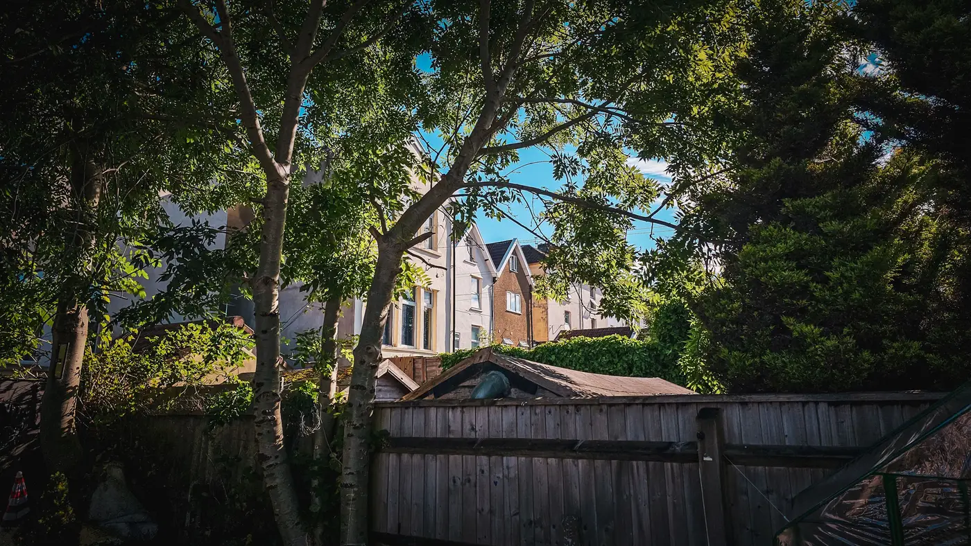
When a listing description says "tree-lined street," it's talking about the row of trees planted in the public right-of-way, usually by the city, sometimes by a developer condition tied to the subdivision approval. When a listing photo shows a big shade canopy hanging over the backyard, that's a private yard tree, planted, trimmed, or removed entirely at the owner's discretion. Both read as "green" in casual conversation. A canopy cover measurement pulled from imagery treats them differently, and mixing the two up is where a lot of greenness signal goes wrong for listing display.
Why the split matters for a listing area, not just a parcel
Street trees sit in a narrow strip that belongs to the city or county, not to any one parcel. They're consistent down a block because one planting plan or one maintenance crew put them there. A buyer walking the sidewalk sees them before they see anything else, and they shape the first impression of the area regardless of which house they're looking at.
Private yard canopy is the opposite. It's lumpy. One parcel has a 40-year oak in the backyard, the house next door has a yard that was cleared for a pool five years ago, and neither of those facts shows up from the street. Yard canopy drives actual shade on the house and the patio, the kind of thing that affects cooling load and how the backyard photographs, but it's not something a buyer can read off the block the way they read street trees.
A per-area score that lumps these into one number hides the thing that actually explains why two listings on the same street can feel completely different. A parcel with no street trees but a mature backyard canopy will photograph green and score green on a crude "percent tree cover" metric, but a buyer walking up to the front door sees bare curb. Separating right-of-way canopy from private-lot canopy is what lets a location-quality score say something closer to what a buyer notices block by block versus what they'd only notice once they're in the backyard.
How imagery tells a street tree from a backyard tree
From orthorectified satellite or aerial imagery, the distinction isn't guesswork, it's geometry. Parcel boundaries and road right-of-way lines are already known from cadastral data. Canopy pulled from NDVI or similar vegetation index processing on RGB + NIR imagery gets classified as canopy first, tree versus lawn versus shrub cover, and then assigned to a zone second: canopy falling inside the right-of-way buffer along a road counts as street tree cover, canopy falling inside a parcel boundary counts as private cover.
The imagery itself doesn't care who planted the tree. What makes the split possible is overlaying the canopy classification on parcel and right-of-way layers before the score gets rolled up. Done at 0.5–2 m resolution, that's fine enough to separate a canopy edge that's hanging over the sidewalk from one that's clearly sitting inside a backyard, even on a block where the trees nearly touch property lines.
Reading canopy cover classification on a listing display
For a property portal, the practical question isn't "how green is this area," it's which kind of green a buyer is going to notice and when. Street tree cover is the number that tracks with curb appeal and walking comfort, the thing that shows up before a buyer ever opens the listing photos. Private yard canopy tracks with backyard shade, privacy, and cooling, the thing a buyer only confirms once they're looking at the actual photos or standing in the yard.
A single blended canopy percentage can't answer either question well. Breaking canopy cover into these components, alongside open space and impervious ratio, is closer to a per-area score built for exactly this kind of comparison, where the components are delivered alongside the score rather than folded into one unexplained number.
If you're building out listing-area scoring and want to see what that breakdown looks like for your own coverage area, that's worth a look.