Walkability score vs greenness score: what each one measures
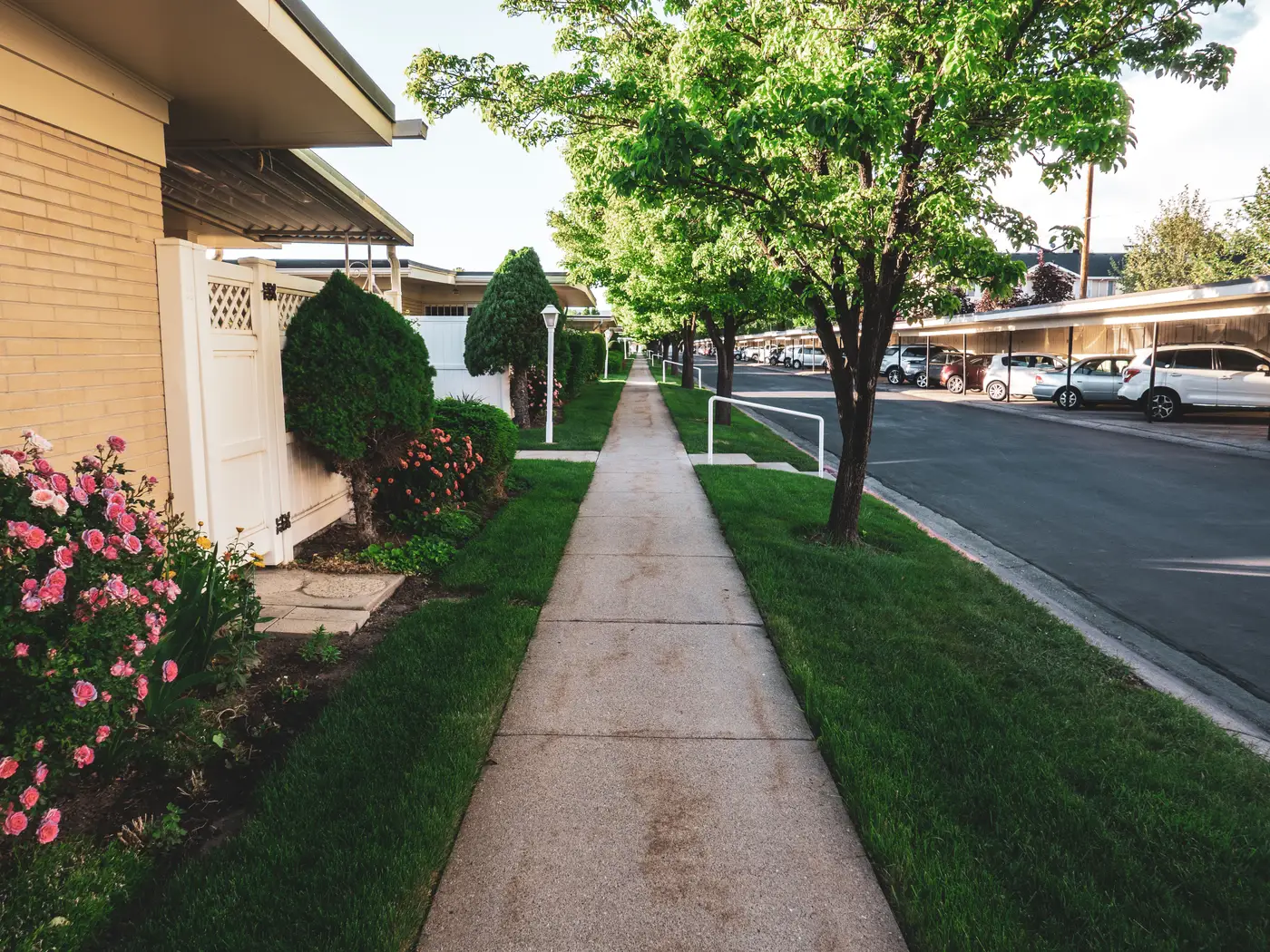
Walk Score shows up on listing pages because it answers a question buyers ask early: can I get to a coffee shop, a grocery store, a transit stop without a car. It's a distance-and-destination score, built from the street network and the density of amenities around a point. A greenness score answers a different question: how much tree canopy, open space and paved-over ground sits around that same point. The two numbers measure different things, and treating them as interchangeable is where a lot of listing pages get it wrong.
What a walkability number counts
A walkability score measures network distance: the real path a pedestrian walks along sidewalks and streets, rather than the straight line between two points on a map. It counts how many grocery stores, schools, parks, restaurants and transit stops sit within a walkable radius, then weights them by how far someone would have to walk to reach each one. A dense urban block with a corner store, a bus stop and a pharmacy within five minutes scores high. A leafy suburban cul-de-sac two miles from the nearest shop scores low, even if every yard on that street has a mature oak in it.
That's the gap. Walkability tells a buyer about proximity to services. It says nothing about tree cover, shade, or how much of the surrounding land is asphalt versus lawn. Two listings can post the identical walk score and look nothing alike on the ground: one with a block of street trees and a pocket park, the other with a parking lot and a strip of concrete median.
What a greenness score adds
A greenness score works from imagery rather than a directory of nearby businesses. It reads canopy cover, open space and impervious surface from high-res multispectral imagery, RGB plus near-infrared, and turns that into a comparable number for the area around a listing. Canopy cover picks up tree crowns from the NIR signature. Open space flags parks, yards and undeveloped parcels. Impervious ratio flags roof, road and pavement. Put those three together and you get a score for how green a block looks, separate from how close it sits to a bus line or a grocery store.
For a listing page, that's a different kind of signal. A buyer moving for a yard, for shade in July, for a walk that doesn't run past six lanes of asphalt, cares more about canopy and open space than transit access. A walkability score won't tell them that. A greenness score will.
Using both on a listing page
The two scores aren't competing for the same slot. A property portal running both gets a fuller picture: how easy is it to get around without a car, and separately, how much green cover sits around this address. Running one without the other leaves a gap. A listing can score well on walkability and still sit next to a treeless parking lot, or score well on greenness and still be a twenty-minute walk from the nearest grocery store. Neither number is wrong. They just answer different questions, and a listing page showing only one is answering half of what a buyer wants to know before they book a viewing.
This is the gap Greenness Scoring is built to close: canopy cover, open space and impervious ratio read from imagery and turned into a comparable per-area score, delivered with its underlying components and refreshed annually.
If your listing pages already carry a walkability badge and nothing for green space, that's worth fixing before the next refresh.