What counts as open space in a location-quality score
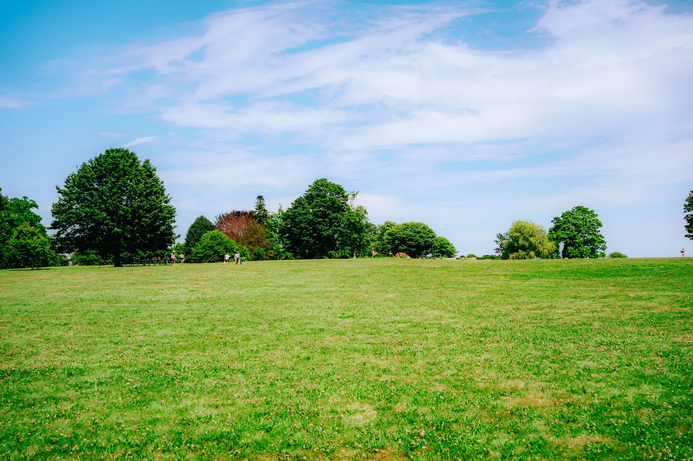
A listing team asks for "green space nearby" and everyone on the call means something slightly different. One person means the municipal park two blocks over. Another means the golf course that backs onto half the subdivision but that residents can't walk into. A third means the setback lawns and parking-lot islands that technically aren't pavement but also aren't anywhere anyone would sit down. If you're building or buying a location-quality score, you have to pick a definition before you pick a data source, because the definition changes the number more than the imagery does.
Open space is a land-use category, not a vibe
The honest starting point is that "open space" is doing two jobs at once in most scoring conversations, and conflating them produces a number nobody trusts.
Job one is land-use classification: is this parcel a park, a golf course, a cemetery, a school field, a vacant lot, a stormwater basin? That's a polygon-and-attribute question, usually answered from parcel records, zoning layers or a parks department's own GIS data, not from a satellite pass. A cemetery lawn and a soccer pitch can have identical spectral signatures and completely different value to a home buyer.
Job two is physical green cover: how much of a given radius around a listing is vegetated versus paved versus built, regardless of what the parcel is zoned as. That's the question imagery answers well, because canopy, grass and bare ground reflect light differently enough to separate cleanly in high-resolution RGB and near-infrared.
The scores that feel arbitrary to analysts are usually the ones that quietly answer job two while labeling the output "open space," then get challenged by someone who points out the "green space" in the radius is a reservoir buffer with a chain-link fence around it. If your score is built from canopy cover, impervious surface and general vegetation, call it that. Don't let a cover metric borrow the credibility of a land-use term it isn't measuring.
Canopy and open space aren't the same component
Even once you've settled on "we're scoring physical cover, not zoning," canopy and open space still need to be separate numbers, not one blended score, because they tell you different things about a listing area.
Tree canopy is shade, privacy screening and the kind of mature-street look that shows up in listing photos. A neighborhood can have heavy canopy and almost no open ground: narrow lots, big street trees, backyards you can't see into from the sidewalk. Open space, by contrast, is unbuilt ground cover, whether that's a park lawn, a school field or a strip of undeveloped land, and it reads as sightlines and room to move rather than shade.
A location-quality score that averages these into one "greenness" figure will rate a tree-heavy street with no public park the same as a treeless block next to a wide-open sports field, when a buyer walking those two streets would describe them completely differently. Keeping canopy cover, open space ratio and impervious surface as three separate components, and only combining them into a single comparable score at the end, lets you see which one is driving a given area's number before you put it in front of an agent or a buyer.
It also matters when you're explaining a score that seems low. "This listing area scores lower on canopy than its open-space percentage would suggest" is a useful, checkable sentence. "This area has a 62 for greenness" invites questions you can't answer from the number alone.
Where the line gets drawn in practice
For a comparable score across listing areas, the practical approach most teams land on is: measure vegetated cover and impervious surface from imagery without trying to classify every parcel's zoning, then layer in a simple land-use flag, where you have it, for things like cemeteries or golf courses that inflate green percentages without adding usable space. The imagery component gives you the comparable, repeatable number; the flag handles the handful of parcel types that would otherwise skew it.
Greenness Scoring builds exactly this way: canopy cover, open space and impervious ratio measured separately from high-resolution multispectral imagery, then rolled into one comparable score per listing area, refreshed annually, with the component numbers delivered alongside it so you can see what's behind a given score before you publish it.
If you're scoping a greenness or location-quality field for your listing areas, it's worth looking at what a components-first score gives you.